Calgary International Airport (YYC)
City Orientation and Maps
(Calgary, Alberta (AB), Canada)
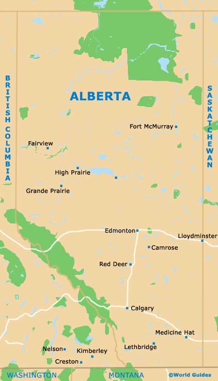
Located in the province of Alberta, on the western side of Canada, the city of Calgary enjoys a spectacular backdrop of snowcapped mountains. The Bow River runs through the heart of central Calgary, dividing the city into two main regions, with Prince's Island being located in the middle of the river, a peaceful retreat connected by a small footbridge.
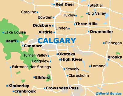
Those flying into Calgary International Airport (YYC) will arrive on the city's northeastern outskirts, just minutes away from the center. As you approach the airport you will be treated to breathtaking views of the Canadian Rockies, which stretch across the horizon, to the west.
Calgary International Airport (YYC) Maps: Important City Districts
The city is divided into four main quadrants and is home to a cluster of high-rise buildings with mirrored-glass facades, a number of which line the banks of the Bow River. It is difficult to pinpoint the Calgary city center as such, although it is based around 8th Avenue, being sandwiched between both 1st Street SW and 3rd Street SW. This pedestrianized area is named the Stephen Avenue Mall.
Calgary's main region's include the Southeast District, which is an important area of commerce and industry, home to a number of shopping malls and top restaurants. The Southwest District is a particularly appealing part of Calgary and encompasses the busy downtown area, the Eau Claire Festival Market, and also the scenic North Glenmore Reservoir.
The Northeast District is home to a number of large residential neighborhoods, together with Calgary International Airport. Attractions here include the city's zoo and botanic gardens. Calgary's Northwest District is noticeably upmarket, with many prominent shopping centers and top restaurants. Highlights in this area include the city's university and Canada Olympic Park.
Canada Map

Alberta Map

Calgary Map


